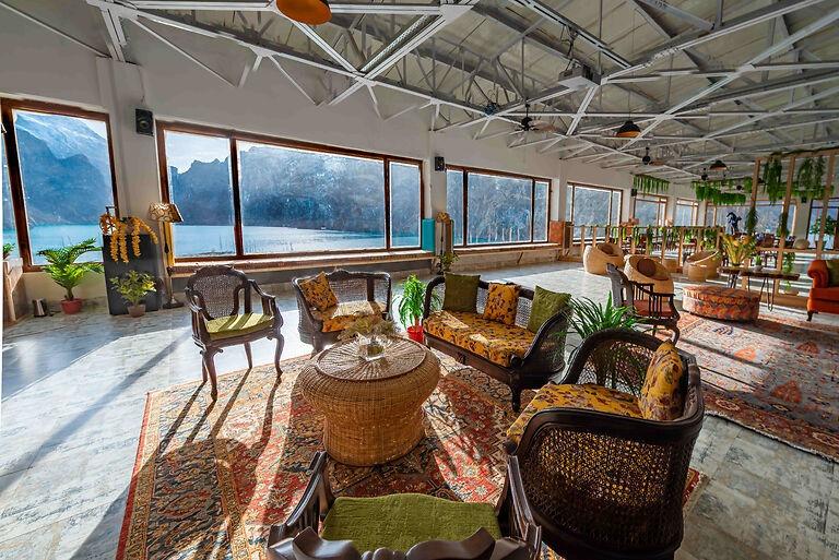
🧭 Concierge Guided Tours & 4x4 Jeep Shuttles Available On-Site • Central Reservations: 042-111-999-955
Distance-Calibrated Karakoram Guide

13 Iconic Regional Landmarks

Situated directly on the Karakoram Highway (KKH), Luxus Hunza provides seamless access to the world's most spectacular alpine peaks, historic silk-route fortresses, and high-altitude glaciers.

Orientation & Travel Radii

Excursion Distances from Luxus Hunza

Every landmark below is measured directly by road distance from the Luxus Hunza shoreline entrance. Our concierge desk coordinates private 4x4 SUV rentals and licensed mountain guides daily.

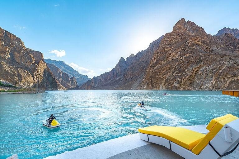
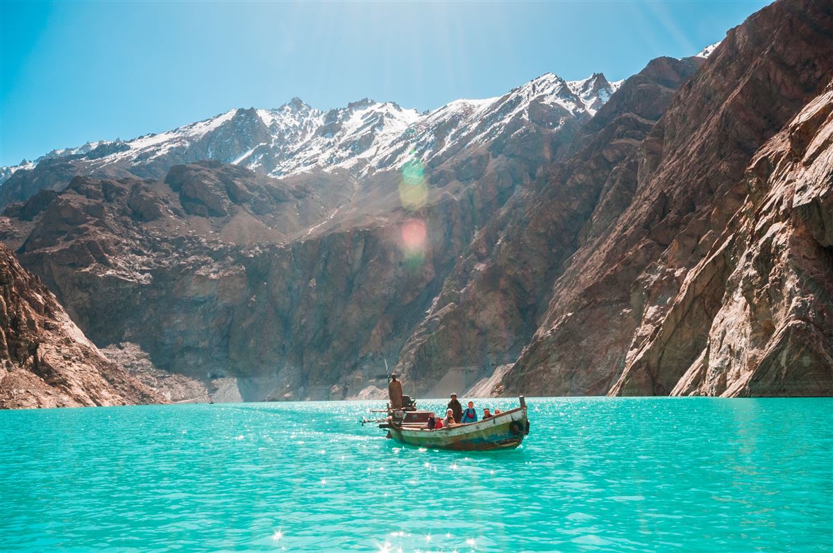
Attabad Lake turquoise waters and mountain peaks 0 – 2 KM • At Doorstep

Attabad Lake & Water Sports

Created in January 2010 following a massive mountain landslide that dammed the Hunza River. Famed worldwide for its deep, surreal turquoise hues. Ideal for speedboat tours, jet skiing, double-decker cruise excursions, and landscape photography directly from our private hotel pier.
⏱️ 5 mins ⭐ Top Water Sport 🛥️ Pier Access
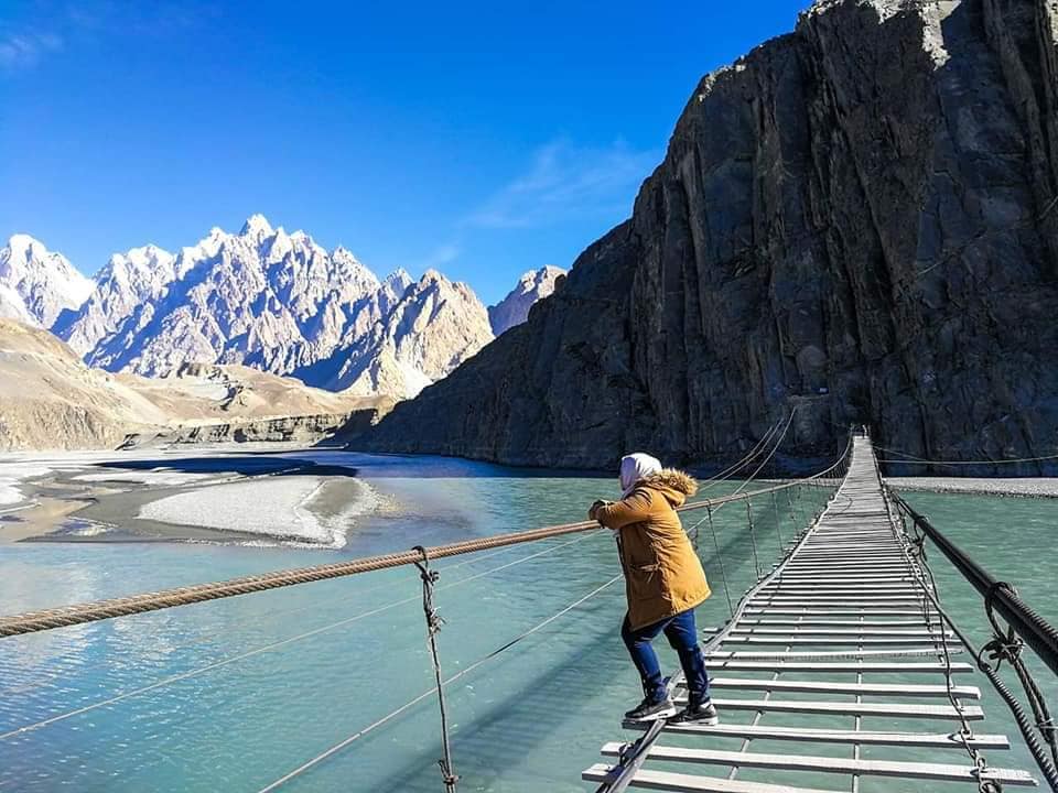
Hussaini Suspension Bridge crossing Hunza river with spaced planks 12 KM from Resort

Hussaini Suspension Bridge

Known internationally as one of the most adventurous rope-and-wood suspension footbridges on Earth. Strung high over the rushing Hunza River in Upper Hunza (Gojal), its widely spaced wooden planks test the courage of hikers while rewarding them with thrilling views.

⏱️ 15-20 mins 🧗 High Adventure 📸 Viral Landmark
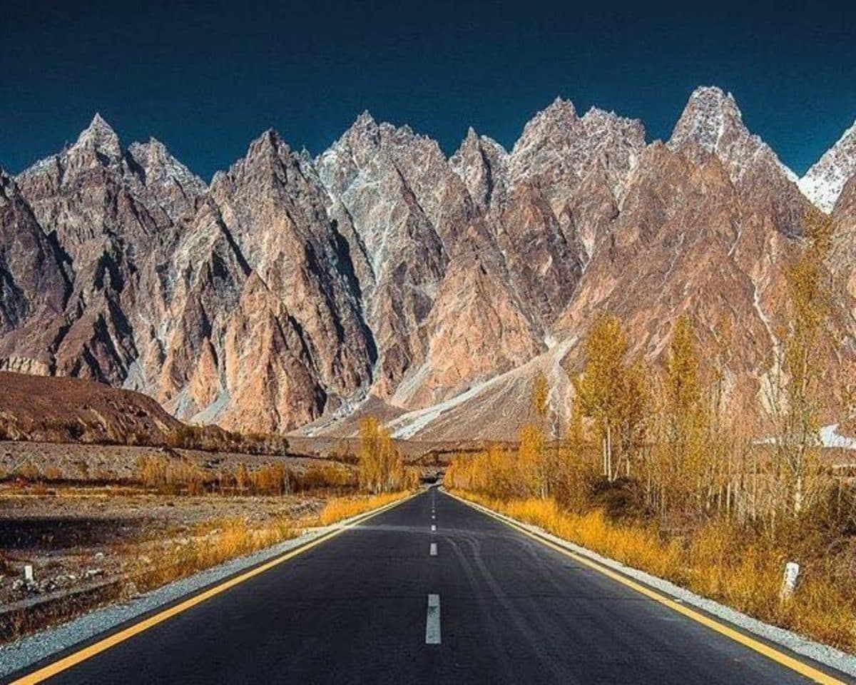
Jagged Passu Cones rising like cathedrals against clear blue sky 19 KM from Resort

Passu Cones (Tupopdan Peaks)

The most photographed mountain skyline in northern Pakistan. The jagged crown of Tupopdan (Passu Cones) towers to an elevation of 6,106 meters. Best viewed from Passu Bridge and the Karakoram Highway roadside viewpoints during golden hour.

⏱️ 25 mins ⛰️ 6,106 m Elevation 📸 Panoramic View
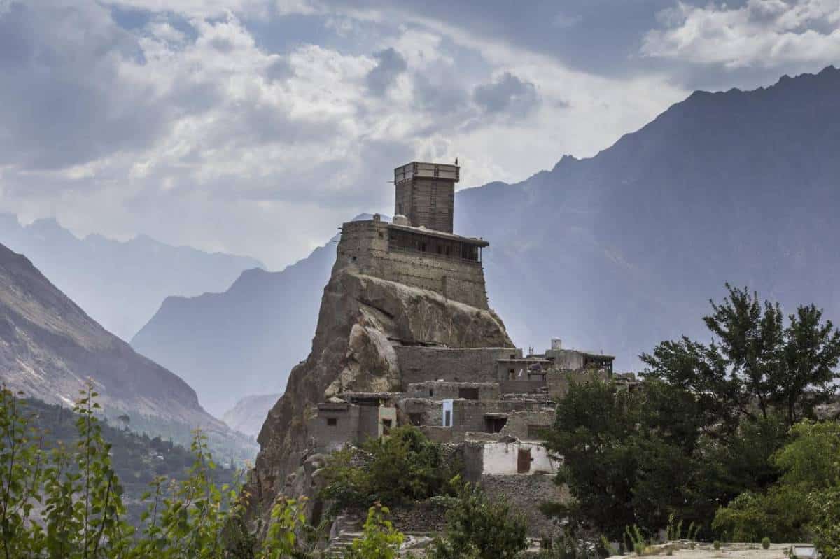
900 year old Altit Fort watchtower overlooking the valley 19 KM South

Altit Fort & Shikari Tower

The 900+ year-old ancestral stronghold of the Mirs of Hunza. Perched atop a sheer 1,000-foot cliff overlooking the river and valley, Altit Fort features the iconic Shikari (Hunter) watchtower and restored ancient village gardens conserved by the Aga Khan Trust for Culture.

⏱️ 25 mins 🏰 900+ Years Old 🏛️ Heritage Site
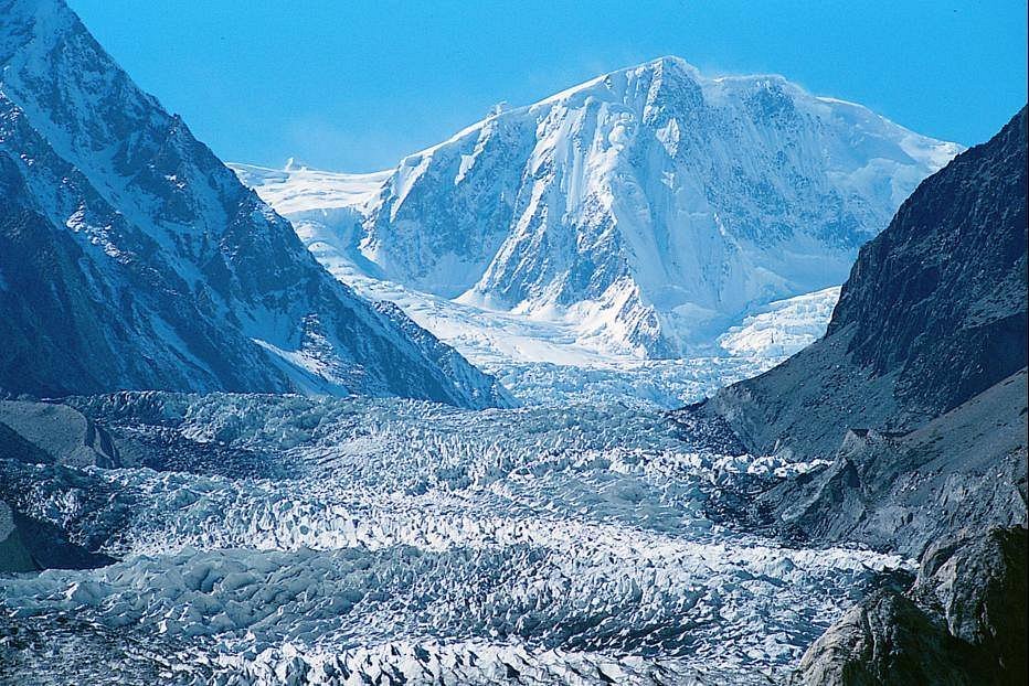
Passu Glacier blue ice seracs and mountain moraine 17 KM from Resort

Passu Glacier

A massive white-and-blue tongue of glacial ice descending directly toward the KKH. Accessible via a 1–2 hour scenic alpine trek from near Borith Lake or a 15-minute jeep shuttle. Offers jaw-dropping close-up views of colossal glacial crevasses and ice pinnacles.

⏱️ 20 mins ❄️ Glacial Moraine 🥾 Trekking Trail
Baltit Fort perched high on Karimabad mountain slope 21 KM South

Baltit Fort (Karimabad)

A 700-year-old architectural marvel exhibiting Tibetan and Central Asian design influences. Perched on a high bluff overlooking the vibrant bazaar of Karimabad with Mount Rakaposhi and Ultar Glacier forming an awe-inspiring backdrop. Honored with UNESCO heritage awards.

⏱️ 30 mins 🏰 700 Years Old 🛍️ Karimabad Bazaar
Calm waters of high altitude Borith Lake surrounded by mountains 15 KM from Resort

Borith Lake & Bird Haven

A serene, saline high-altitude alpine lake situated at 2,600m above sea level near Gulmit. A crucial seasonal resting sanctuary for migratory waterfowl crossing the Karakorams between Central Asia and the subcontinent. Ideal for gentle day treks and birdwatching.

⏱️ 20 mins 🦆 Bird Sanctuary 🌊 High Alpine Lake
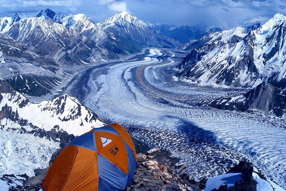
Trekker overlooking Batura Glacier moraine 19 KM from Resort

Batura Glacier Trek

At 57 km in length, Batura is one of the longest non-polar valley glaciers on Earth. Its trailheads meander through high summer pastures (3,800m) rich in juniper groves, wild mountain roses, and grazing yak herds beneath the massive walls of Batura Muztagh.

⏱️ 30 mins to trailhead 🏔️ 57 KM Long 🥾 Alpine Pastures
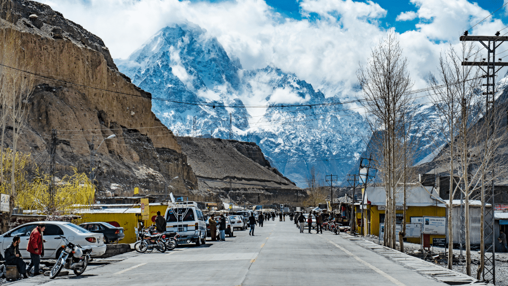
Sost border town marketplace and customs terminal 45 KM North

Sost Bazaar & Dry Port

Pakistan’s northernmost customs town and international freight dry port on the Karakoram Highway. Features lively cross-border trade markets offering silk goods, Chinese porcelain, herbal teas, and regional dry fruits before ascending to Khunjerab Pass.

⏱️ 50 mins 📦 International Port 🛍️ Silk Trade
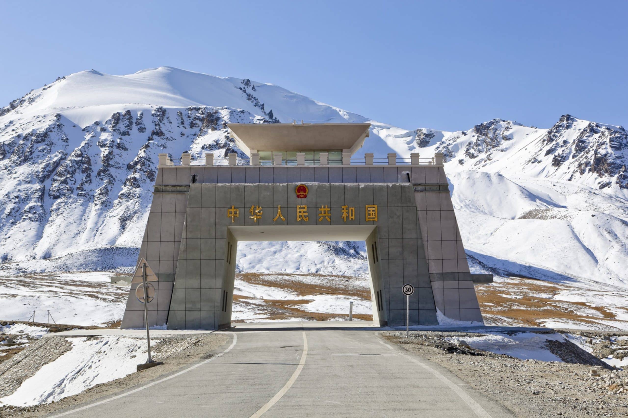
Khunjerab Pass high altitude border monument between Pakistan and China 125 KM North

Khunjerab Pass (4,706 m)

The highest paved international border crossing in the world (elevation: 4,706 meters / 15,439 feet), marking the boundary between Pakistan and China. Home to Khunjerab National Park (habitat for Snow Leopards and Marco Polo Sheep) and the world’s highest ATM.

⏱️ 2.5 hours 🇵🇰🇨🇳 Border Monument 🏧 Highest ATM
Hopar Glacier valley in Nagar 37 KM (Nagar Valley)

Hopar (Hopper) Glacier

Located across the river in neighboring Nagar Valley, set within a colossal natural mountain amphitheater formed by the Bualtar and Hopar ice fields. Known for its distinct black and grey moraine contrasting sharply against lush apricot orchards.

⏱️ 55 mins 🏞️ Nagar Valley 🧊 Moraine Amphitheater
Sunset glow on Karakoram peaks from Duikar Eagle's Nest 26 KM South

Duikar Sunset Point (Eagle's Nest)

The highest accessible vantage point above Karimabad and Altit, famed for magical sunrise and sunset vistas. Commands 360-degree panoramas over Golden Peak (Spantik - 7,027m), Ladyfinger Peak (Bublimotin), Ultar Sar, and Rakaposhi.

⏱️ 40 mins 🌅 Sunrise/Sunset 🦅 360° Panorama
Expert Advice

Essential Travel Wisdom for Northern Pakistan

Distilled from our experienced mountain guides to ensure a respectful, safe, and unforgettable journey through Hunza and Gilgit-Baltistan.

Local Etiquette & Photography

• Traditional Greeting: Greet locals with "Salam", a polite bow, and your right hand over your heart.
• Dress Modestly: Loose, comfortable attire covering shoulders and knees is appreciated in traditional villages.
• Photography Consent: Always ask permission before photographing local residents—particularly women, religious elders, and private homes.
• Shoe Etiquette: Remove outdoor shoes before stepping onto carpets inside traditional Hunzai homes.

High-Altitude Health (AMS Prevention)

• Attabad Lake sits at approx. 2,500m (8,200 ft), while Khunjerab Pass exceeds 4,700m (15,400 ft).
• Hydration: Consume at least 3–4 liters of water daily; limit heavy caffeine and alcohol.
• Rule of Ascent: "Climb high, sleep low" with gradual elevation gains.
• Emergency Descent: If experiencing acute symptoms (persistent pounding headache, breathlessness at rest), descend to a lower altitude immediately.

Connectivity, Currency & Packing

• Cash is Essential: While Luxus Hunza accepts cards, fuel stations and local bazaars require Pakistani Rupees (PKR). ATMs are in Aliabad and Gilgit.
• SIM Cards: SCOM is the primary telecommunications network with high coverage in Gilgit-Baltistan.
• Layered Clothing: High mountain temperatures drop rapidly after sunset. Pack thermal layers, windproof jackets, and UV sunglasses.

Environmental Stewardship (Leave No Trace)

• Zero Plastic Dumping: Keep all wrapper and bottle waste contained to protect glacial streams.
• Wildlife Distance: Maintain at least 100 yards distance from apex predators (Snow Leopards, Bears) and 25 yards from Himalayan Ibex.
• Never feed wild animals, and stick to marked alpine trails to prevent soil and moraine erosion.